
Hoang Sa – sacred part of Vietnam’s territory
Hoang Sa (Paracels) and Truong Sa (Spratlys), like integral pieces of Vietnamese blood and flesh, form part of the country’s territory, which is an immutable truth cherished by the Vietnamese people for generations. Fifty years have passed since January 19, 1974, when Hoang Sa was illegally occupied by China, this archipelago remains a persistent concern of the Vietnamese people.

Students visit an exhibition on Hoang Sa and Truong Sa held in Quang Tri province. (Photo: VNA)
Vietnam’s sea area covers about 1 million sq.km, three times larger than the mainland area and making up nearly 30% of the area of the East Sea. It is home to thousands of islands of all sizes that scatter rather evenly along the coastline and in the outpost archipelagoes of Hoang Sa and Truong Sa.
Historical and legal evidence testifying to Vietnam’s sovereignty over these two archipelagoes have been recognised by many countries, the international community, and many scientists who have affirmed that the State of Vietnam was the first in history to possess and exercise sovereignty over the islands.
Vietnam’s possession and exercise of sovereignty over Hoang Sa and Truong Sa are clear, uninterrupted, peaceful, and in accordance with the existing principle of acquisition of territory – the principle of actual possession – of public international law.
Maps dating back to the 17th century feature Hoang Sa and Truong Sa as a single strip which was initially called “Bai Cat Vang” by Vietnamese people, as seen in “Toan tap Thien Nam tu chi lo do thu” (Route Map from the Capital to the Four Directions) – a map compiled by geographer Do Ba and completed in 1686.
In the first half of the 17th century, the Nguyen Lords established the “Hoang Sa flotilla”, which gathered people from An Vinh commune of Binh Son district, Quang Nghia (now Quang Ngai province) to collect objects from stranded ships and catch rare seafood in Hoang Sa. The lords also set up the “Bac Hai flotilla”, whose members were residents of Tu Chinh hamlet or Canh Duong commune of Binh Thuan, to perform similar duties in Truong Sa.
Throughout three centuries – from the 17th to the late 19th century, despite different dynasties, the monarchical state of Vietnam established, practiced management, and exercised the country’s sovereignty over Hoang Sa and Truong Sa without encountering any dispute or objection.
This fact was proved in many old documents, books, and legal documents of the State, along with the maps showing Vietnam’s exercise of its sovereignty over the two archipelagoes, kept in Vietnam and many countries, including “Toan tap Thien Nam tu chi lo do thu” by Do Ba, “Phu bien tap luc“ (Miscellany on the Government of the Marches, 1776) by Le Quy Don, “Lich trieu hien chuong loai chi” (Regulations of Successive Dynasties by Subject-Matter, 1821) by Phan Huy Chu, “Hoang Viet dia du chi” (Geographical Treatise of Imperial Vietnam, 1833), “Dai Nam thuc luc tien bien” (Veritable Records of the Great South, Prequel Records, 1844 - 1848), and “Dai Nam thuc luc chinh bien” (Veritable Records of the Great South, Principal Records, 1844 - 1848).
In particular, the World Atlas by Philippe Vandermaelen, published in Belgium in 1827, clearly drew and depicted Hoang Sa as part of the territory of the Kingdom of An Nam, an old name of Vietnam.
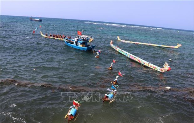
Boats in a ritual of the Feast and Commemoration Festival for Hoang Sa Soldiers. (Photo: VNA)
Besides, the imperial archives of the Nguyen Dynasty (1802 - 1945) are also important evidence proving the monarchical state of Vietnam’s establishment and implementation of many activities to exercise the sovereignty over the two archipelagoes such as sending the Bac Hai and Hoang Sa flotillas there to exploit maritime resources, collect goods from sunken ships, measure and draw maps, erect steles, build shrines, plant trees, and support foreign vessels in distress. The precious records of the Nguyen Dynasty were recognised as world documentary heritage by UNESCO.
In 1975, together with the complete liberation of the South and the national reunification, the Vietnam People’s Navy also liberated the islands kept by the Saigon troops such as Truong Sa, Son Ca, Nam Yet, Song Tu Tay, Sinh Ton, and An Bang, which are part of the Truong Sa archipelago. The then Provisional Revolutionary Government of the Republic of South Vietnam also issued a statement affirming Vietnam’s sovereignty over Hoang Sa and Truong Sa.
On July 2, 1976, at its first session, the 6th-tenure National Assembly (NA) (1976 - 1981) – the parliament of the reunified Vietnam that was elected on April 25, 1976 – decided to rename the country the Socialist Republic of Vietnam. The State of the Socialist Republic of Vietnam has continued to manage and protect the country’s sovereignty over Hoang Sa and Truong Sa via a number of activities that ensure the sufficiency of and adherence to procedures during the legal struggle while at the same time consolidating and maintaining the presence of Vietnamese soldiers and people on the geographical entities currently managed by the State of the Socialist Republic of Vietnam.
Particular, in 1982, Vietnam established the districts of Hoang Sa and Truong Sa, with Hoang Sa district now being part of Da Nang city and Truong Sa district being part of Khanh Hoa province.
Given this, Vietnam owns sufficient historical evidence with legal value to testify to and protect its sovereignty over these two archipelagoes throughout history.
It is noteworthy that the Resolution of the United Nations General Assembly, dated October 24, 1970, stated: “The territory of a State shall not be the object of military occupation resulting from the use of force in contravention of the provisions of the Charter. The territory of a State shall not be the object of acquisition by another State resulting from the threat or use of force. No territorial acquisition resulting from the threat or use of force shall be recognised as legal.”
Therefore, China’s use of force to occupy Hoang Sa, an integral part of Vietnam’s territory, on January 19, 1974 ran counter to international law and was unable to generate a legal right towards this archipelago for China.
Hoang Sa is forever a territorial part of Vietnam!
VNA


 Vietnam Coast Guard vessel visits Philippines
 Vietnam attends 14th annual East Sea conference in US
 Delegation visits Truong Sa island district, platform
 Overseas Vietnamese visit Truong Sa, DKI platform
 Vietnam, China coast guards finish joint patrol
 All activities in East Sea must comply with int’l law: deputy spokesperson
 Vietnam resolutely refutes illegal claims in East Sea: Spokeswoman
 Vietnam deeply concerned about recent tension in East Sea: Spokeswoman
 DK1 platform stands firm on the wave front
 Sick fisherman saved at sea off Hoang Sa islands